A Single Source Of Intelligent Aerial Imagery
Integration with your existing systems and simplicity, accuracy, and cost-effectiveness are essential for effective project management. We integrate:
- The largest network of manned aircraft and UAV operators in the globe.
- Scalable data collection and accurate analysis
In order to develop a unified analytics platform that enables users to concentrate on enhancing construction quality and optimizing energy production by providing straightforward, precise, and practical insights throughout the entire life cycle of solar assets.

Scalable Operations

Scalable Operations

Scalable Operations
Advanced Drone Inspection & Analytics For Solar Project In Vietnam
We offer specialized drone services tailored to meet the needs of renewable energy operators:
- Solar PV Drone Inspections with Thermal Imaging: Quickly identify hotspots, defects, and underperforming modules.
- Thermal Image Drone Services: Capture detailed thermal imagery for accurate performance assessment.
- Comprehensive Drone Inspection Services: End-to-end inspection from data capture to reporting.
- AI-Driven Drone Analysis for Solar PV Systems: Automated processing of large-scale image data for actionable insights.
Beyond inspections, Veneria provides an Asset Management Platform for clients to securely store, track, and analyze all operational data throughout the project lifecycle. This platform enables you to:
- Monitor asset performance in real time
- Access historical and current data for smarter decision-making
- Optimize maintenance planning and reduce operational costs
- Generate clear, actionable reports from drone inspections
Why Choose Veneria Energy?
- Partnering with Veneria Energy means:
- Faster, more accurate inspections
- Full visibility of your assets anytime, anywhere
- Data-driven insights for improved operations
- Optimized performance and long-term value
Solution For Every Phase

Shading Analysis

Thermal Inspections

Module ID Mapping

Construction Monitoring
How Drone Solar Inspections Increase Efficiency at Power Plants
(Details)
The Demand:
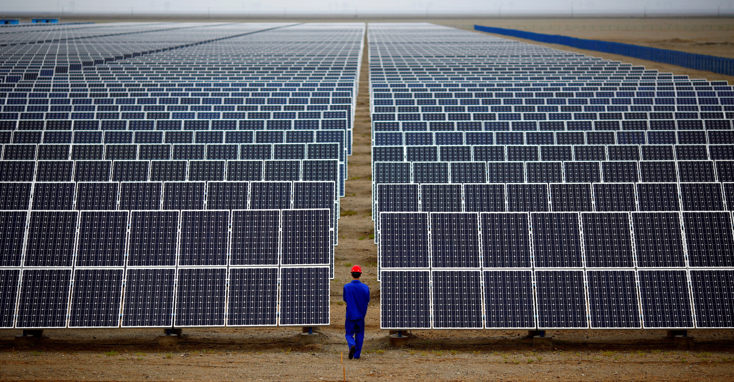
Solar panels must be inspected on a regular basis for damage and dirt.


The Difficulty:
When you're trying to scale up, it's a time-consuming, expensive, and potentially dangerous endeavor. At many large plants, teams of workers were inspecting as low as 2-3% of the panels.
The Solution:
Using drone combined with high resolution thermal camera to take visual and thermal images
- Visual images: Detect surrounding dust and foreign matter affecting the project
- Thermal images: Detect thermal abnormalities


The results:
Around 5% increase in output efficiency compared to the previous period.
How Drone And AI Enable End-To-End Solar Inspections
(Details)Before taking off, make sure your flight parameters are appropriate for the location. Consider the irradiance of the site, the ideal ground sampling distance (GSD) and flight altitude, and the overlap settings for your data collection. Working in good irradiation at a lower altitude will result in greater fidelity data and better findings, but the mission will take longer to complete.
These flight parameters can be kept and repeated for regular inspections to offer comparative data throughout time.
The drone takes off and begins a pre-programmed mapping mission, gradually collecting and uploading data as it flies. From start to finish, data collection is self-contained and cloud-based. Thermal and RGB images are taken.
In a couple of seconds, the asset inventory of the solar farm is synced and examined. Any anomalies that warrant additional investigation are noted. A PV farm is built, which includes electrical data, layouts, and serial numbers.
Automated reports are generated within several days, providing clear insights and actionable data for O&M team.


